Reviews
Description
Poland Map with Places Pins - Editable Layout
Slide Content
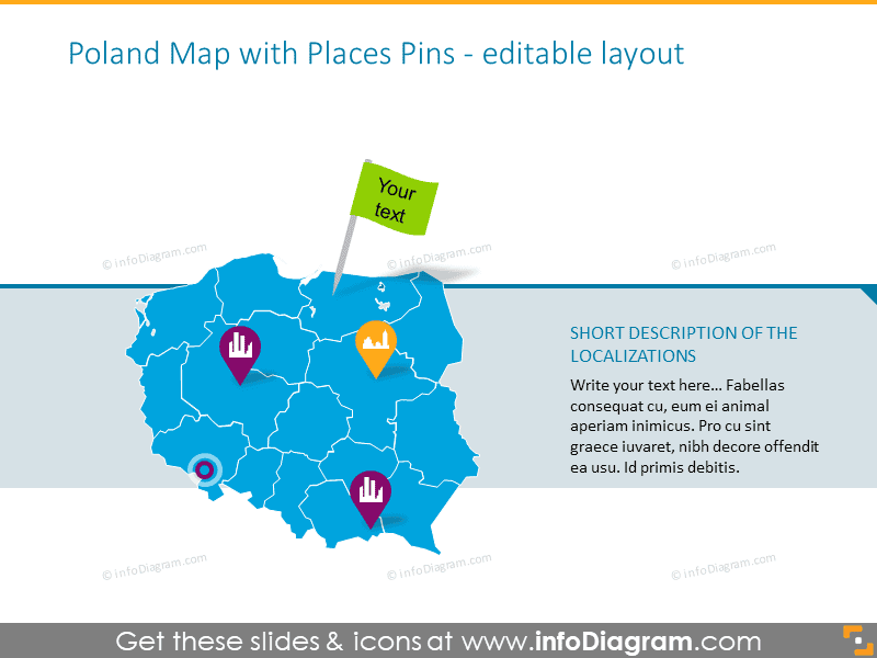
The slide presents a simplified map of Poland highlighted by administrative borders with assorted location pins, each featuring different icons such as a building, a person, and a heart. These pins likely represent various points of interest or important locations. Above the map, there's a place for customizable text tied to one of the pins, suggesting the capability to add specific descriptions to the displayed pins. The sidebar on the right suggests a space for a short description or summary of the locations marked on the map. This setup allows for an interactive and informative geographical presentation.
Graphical Look
- The main feature of the slide is a stylized map of Poland with distinct administrative borders in varying shades of blue.
- Various bright icons on the map, including a building, a handshake, a heart, and more, are encased in typical map pin shapes of different colors.
- A prominent green text box with "Your text" is connected to one of the pins, indicating a customizable label option.
- On the right side of the slide, there is a text box with a placeholder headline and paragraph for a description. The overall look of the slide is professional and visually engaging, with a clear focus on the map and its interactive elements.
Use Cases
- Presenting geographical data or statistics during business or marketing meetings.
- Highlighting office locations, customer distribution, or key markets in sales presentations.
- Mapping out strategic locations for logistics and supply chain planning within an organization.
- Using in educational settings to showcase demographic or historical data related to Poland.
How to Edit
How to edit text & colors

How to expand / shorten diagram

How to Replace Icons in infoDiagram PPT


